


")
BugFix:
- fixed many bugs.
Implementazioni:
- new embedded 3D viewer with interactive functionality: selectable shots and stations, transparent surface with textures;
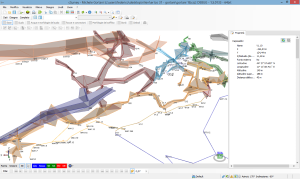
- 3D model exportable in DAE and STL file format (and more);
- WMS viewer integrated in plan and 3D.
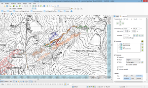
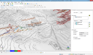
WMS data can be cached for off-line use. - WMS can be downloaded and cutted creating a static orthophoto saved inside the survey;
- added station to surface distance (vertically);
- added new function to show surface profile in extended elevation;
- added new function to manage station geographic's fix;
- new object selection mode for better user experience.

